


Below you can plan your own routes
Map of Fiesch and surroundings
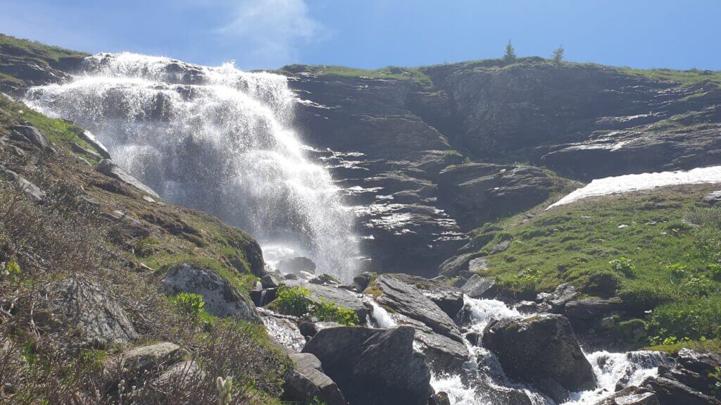
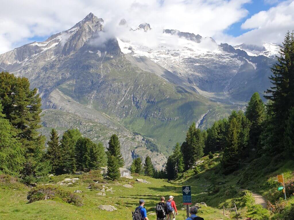
The chalet is located in Fiesch at an altitude of 1150m. You can go on beautiful walks and you can also choose and compile them yourself. That’s part of the anticipation. Here is the link to the SwitserlandMobility map. You will end up in a new tab: Fiesch (US). VS stands for Valais, Wallis in French.
Explanation map SwitserlandMobility
On this site of SwitserlandMobility (see picture below) you can see the current weather in Fiesch and the surrounding area. In addition, various walks that you can do, for example the Aletsch Panoramaweg. It is indicated how long this is, the height differences, the walking time and the difficulty of the walk. This way you can better estimate what you are getting into. You can also click on the corresponding map so that you can see exactly how the route runs. There are also markers for photos on the map. The legend on the left gives even more options.
App SwitzerlandMobility
You can also download the map on your phone: the app is called SwitserlandMobility (in the Google store) and is free. This is also useful for traveling (provided your subscription also includes CH; T-Mobile does not include Switzerland as standard in the data bundle, so you have to purchase additional data). Most other providers such as Vodafone and KPN have included Switzerland in the bundle next to the EU countries.
Present map on TV with SmartView
In the chalet, you can use the Smart View option of a Samsung device to mirror the screen on the flat screen so that the map is displayed large, so that others can also see how the walk is going. Another option is to connect your laptop to the TV.
